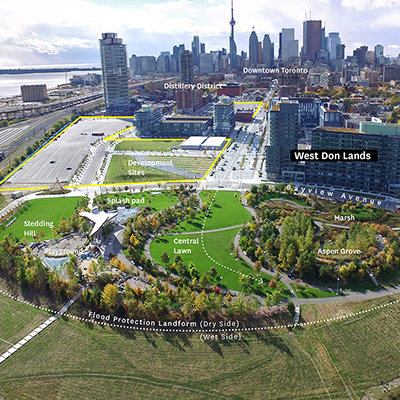
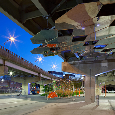
Underpass Park is a highly imaginative public space in a rather unexpected place. Located beneath a complex of existing highway overpasses in Toronto’s downtown, an otherwise forgotten and derelict remnant has been transformed into an active public park providing diverse recreational and social opportunities while connecting new and existing local neighborhoods and nearby parks. This unique public space is part of Waterfront Toronto’s revitalization efforts of the celebrated new West Don Lands neighborhood. It serves to link Corktown Common, River Square and the neighborhoods of both sides of the overpass complex through the provision of safe and animated public realm design. At a time when urban open-space resources continue to dwindle, and city populations and densities increase, taking advantage of unexpected opportunities, such as the underbelly of an overpass, has proven to be both visionary and essential for the overall health and vibrancy of this area of the city.
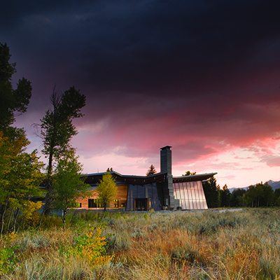
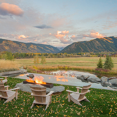
Until recently, this 3.5-acre property was the maintenance boneyard for a nearby working ranch. Piles of wood and debris, covered with a layer of fill, had created an artificial landform, resulting in a site that was both ecologically lifeless and unsightly. A collaborative effort combining the creative talents of the landscape architect, architect and interior designer resulted in a new vision for the property, one that reimagines the disturbed site as a livable landscape, emblematic of the heritage of the surrounding pastoral landscape.
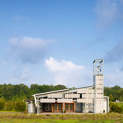
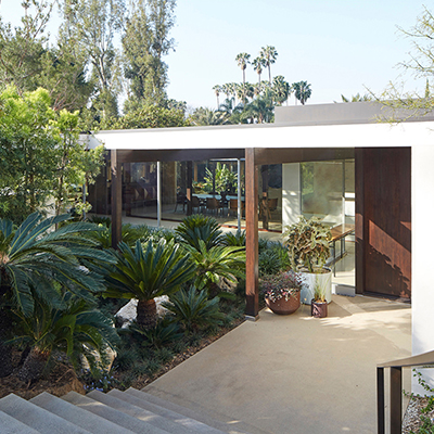
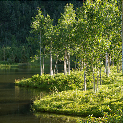
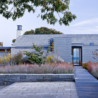
The residence – a compound of structures designed in the modern ranch vernacular – is unified by the careful placement of layered and interconnected outdoor gathering spaces and curated native plant communities. A singular palette of stone and wood seamlessly connects indoor and outdoor space through simple and compelling expressions. Context-sensitive and sustainable strategies address water quality, reforestation and visual character, restoring ecological integrity to this once-derelict site.
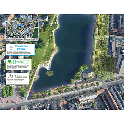
Following a 2011 Cloudburst that caused damage of approximately USD $1 billion, climate change mitigation solutions became an urgent focus for the city of Copenhagen. The flood’s consequences transcended jurisdictional boundaries, necessitating a truly collaborative effort be established between planners, engineers, economists, citizens, utility providers, politicians, and investors to integrate Climate Adaptation within regulatory planning.
The result is the Copenhagen Cloudburst Formula, a flexible, universally adaptable model for mitigating increasingly common extreme flood events – or Cloudbursts – through Blue-Green solutions that integrate urban planning, traffic, and hydraulic analysis with sound investment strategies to improve the quality of cities’ Liveability.
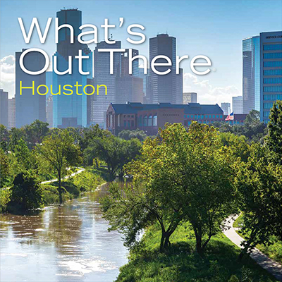
The Cultural Landscape Foundation’s (TCLF) What’s Out There guidebooks are concise, richly illustrated publications that provide overviews about the design history of mostly urban areas throughout the U.S., locates significant works of landscape architecture of each city on a map, and include 250-word essays and full-color photographs of each site. The guidebooks—usually more than 60-pages in length—are attractively designed and professionally printed as 8x8-inch, easily portable paperback books. The guidebooks are also available as free digital downloads. They derive from the What’s Out There database of nationally significant landscapes and their designers, and are created in tandem with the What’s Out There Weekend series of free, expert-led tours. Developed in collaboration with local partners, the guidebooks are intended for a diverse audience, including landscape architecture professionals and students, educators, tourists, and design enthusiasts. To date, thirteen guidebooks have been produced.
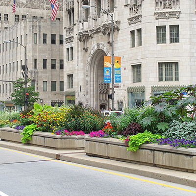
Since 1993, a bold strip of beautiful landscape has run down the median of Chicago’s Magnificent Mile. It spans the 33 blocks (2.3 miles) from Roosevelt Road in Chicago’s Loop up to Oak Street in the city’s Gold Coast, enlivening the prominent street with seasonal plant displays of enormous scale, color, complexity, and texture. The project originated in 1991 as an initiative introduced by Mayor Richard M. Daley and a committee of prominent Chicago business and civic leaders to beautify one of the city’s most prime pieces of real estate and transform it into a stunning public space.
Three different displays are carefully planned and installed annually so as to remain seasonally appropriate. The original design team produced more than 60 different schemes over the project’s first 20 years; today, a new landscape firm carries on the work. Due to the project’s success, Chicago has since landscaped more than 100 miles of median space. Many other cities have followed suit, making the Magnificent Mile median an international model for civic urban landscape design.